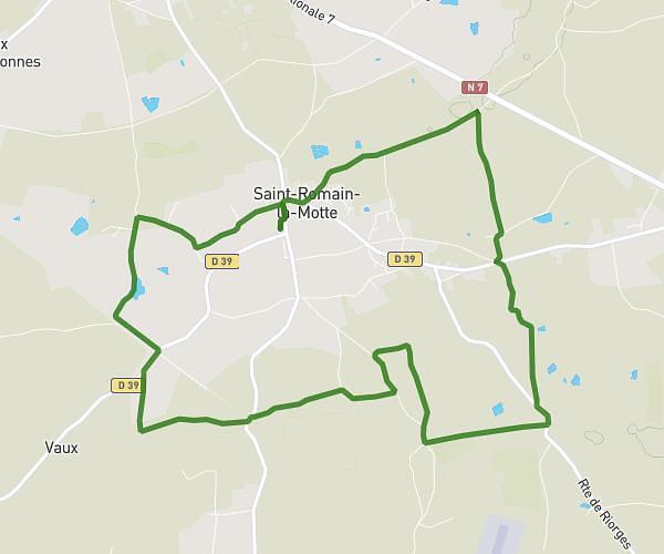
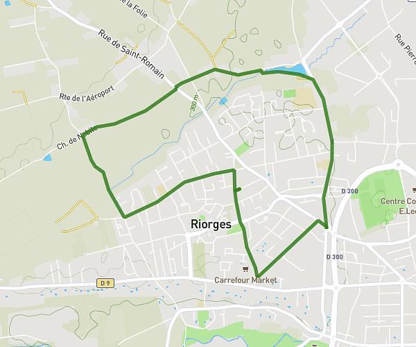
This running route covers 3.519mi starting from Riorges, Loire. The run is a loop trail and returns to the trailhead. This run is rated as easy, expect about 39m to complete it. The route has an elevation gain of 223ft and an elevation loss of 223ft.
Riorges
Route details
5.41mph
Speed
446 kcal
Calories burned
Loop trail
Route type
928ft
Min altitude
1056ft
Max altitude
Route profile
223ft
Elevation gain
223ft
Elevation loss
928ft
Min altitude
1056ft
Max altitude
How to get there
Trailhead: 179 Rue André Ampère, 42153 Riorges, France
GPS coordinates of the trailhead: 46.046076, 4.036524 / 46°2'45'' N, 4°2'11'' E