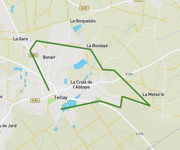
This running route covers 4.689mi starting from Grand-Fougeray, Ille-et-Vilaine. The run is a loop trail and returns to the trailhead. This run is rated as easy, expect about 45m to complete it. The route has an elevation gain of 312ft and an elevation loss of 312ft.
Grand tour
Route details
6.25mph
Speed
515 kcal
Calories burned
Loop trail
Route type
105ft
Min altitude
262ft
Max altitude
Route profile
312ft
Elevation gain
312ft
Elevation loss
105ft
Min altitude
262ft
Max altitude
How to get there
Trailhead: Rue Du Général Allard, 35390 Grand-Fougeray
GPS coordinates of the trailhead: 47.75111, -1.74618 / 47°45'3'' N, 1°44'46'' W