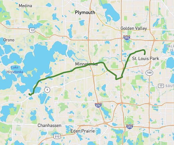
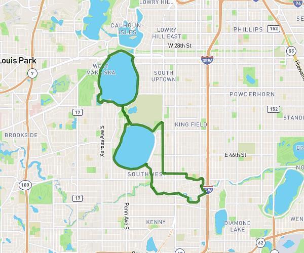
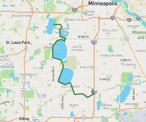
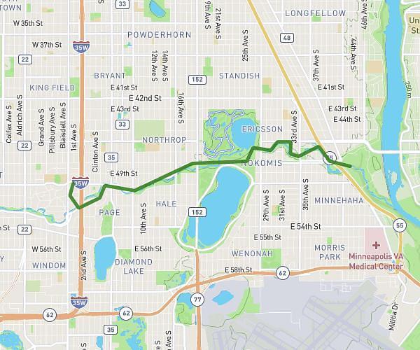
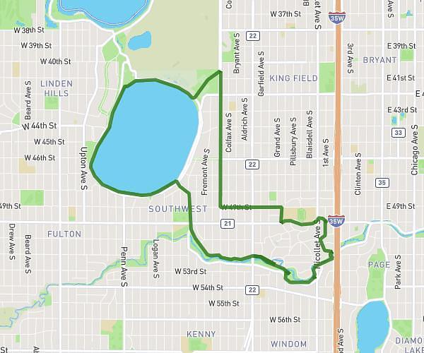
This cycling route covers 12.344mi starting from Minneapolis, Minnesota. The ride does not return to the trailhead and ends near East River Parkway, 55455 Minneapolis. This route is rated as moderate, plan for about 1h to complete it. The route has an elevation gain of 568ft and an elevation loss of 623ft.
Night ride
Route details
531 kcal
Calories burned
1.8%
Avg grade
Point to point
Route type
764ft
Min altitude
873ft
Max altitude
Route profile
568ft
Elevation gain
623ft
Elevation loss
764ft
Min altitude
873ft
Max altitude
How to get there
Trailhead: East 14th Street, 55404 Minneapolis
GPS coordinates of the trailhead: 44.9689, -93.26185 / 44°58'8'' N, 93°15'42'' W