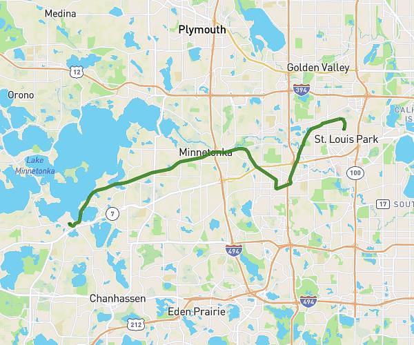
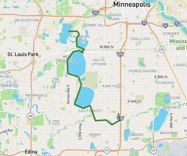
This cycling route covers 7.277mi starting from Minneapolis, Minnesota. The ride is a loop trail and returns to the trailhead. This route is rated as easy, plan for about 44m to complete it. The route has an elevation gain of 95ft and an elevation loss of 89ft.
around harriet
Route details
386 kcal
Calories burned
0.5%
Avg grade
Loop trail
Route type
837ft
Min altitude
919ft
Max altitude
Route profile
95ft
Elevation gain
89ft
Elevation loss
837ft
Min altitude
919ft
Max altitude
How to get there
Trailhead: 4945 1st Avenue South, Minneapolis, Minnesota 55419, United States
GPS coordinates of the trailhead: 44.91257, -93.27676 / 44°54'45'' N, 93°16'36'' W