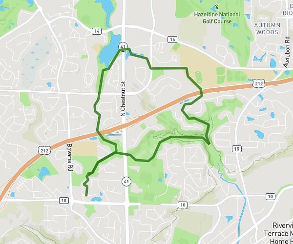
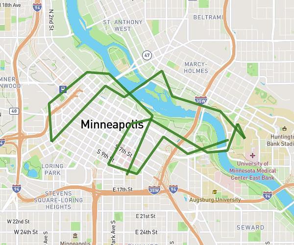
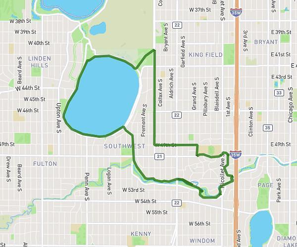
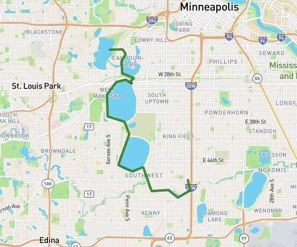
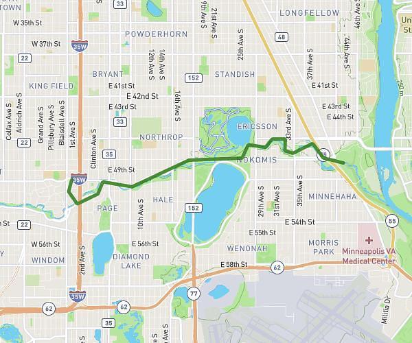
This cycling route covers 2.925mi starting from Chaska, Minnesota. The ride is a loop trail and returns to the trailhead. This route is rated as easy, plan for about 25m3s to complete it. The route has an elevation gain of 69ft and an elevation loss of 66ft.
Cc loop
Route details
220 kcal
Calories burned
0.9%
Avg grade
Loop trail
Route type
866ft
Min altitude
915ft
Max altitude
Route profile
69ft
Elevation gain
66ft
Elevation loss
866ft
Min altitude
915ft
Max altitude
How to get there
Trailhead: 348 Pondview Lane, Chaska, Minnesota 55318, United States
GPS coordinates of the trailhead: 44.806417, -93.608608 / 44°48'23'' N, 93°36'30'' W