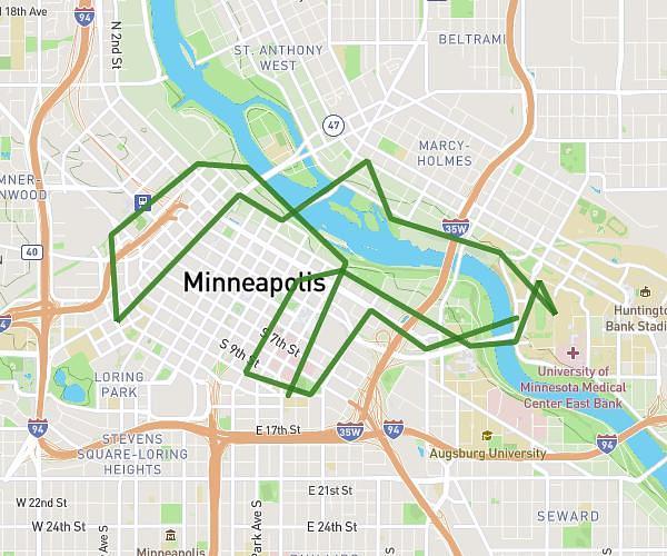
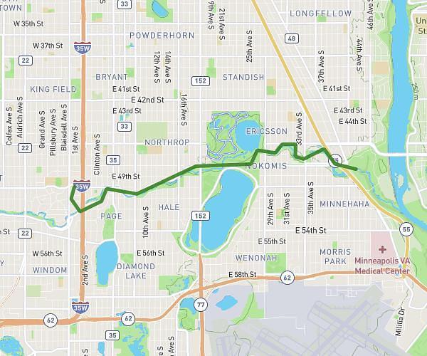
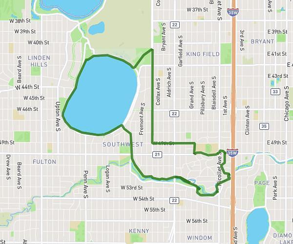
This cycling route covers 11.467mi starting from Minneapolis, Minnesota. The ride is a loop trail and returns to the trailhead. This route is rated as easy, plan for about 1h9m to complete it. The route has an elevation gain of 85ft and an elevation loss of 59ft.
around two lakes
Route details
605 kcal
Calories burned
0.2%
Avg grade
Loop trail
Route type
843ft
Min altitude
919ft
Max altitude
Route profile
85ft
Elevation gain
59ft
Elevation loss
843ft
Min altitude
919ft
Max altitude
How to get there
Trailhead: 25 East 50th Street, Minneapolis, Minnesota 55419, United States
GPS coordinates of the trailhead: 44.91262, -93.27722 / 44°54'45'' N, 93°16'37'' W