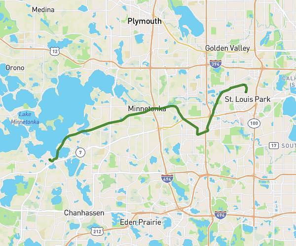
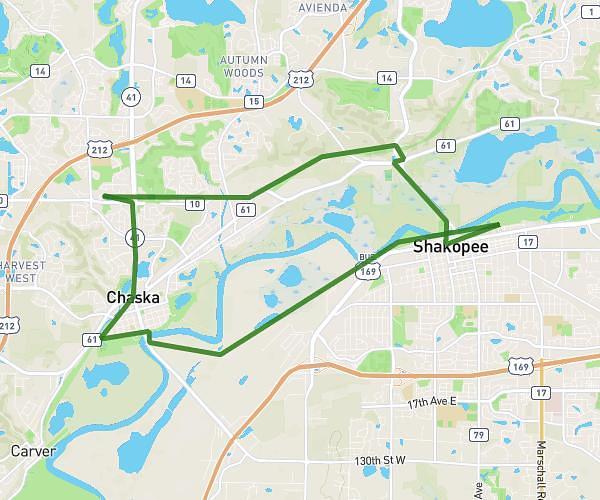
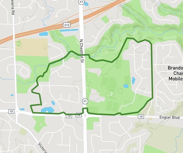
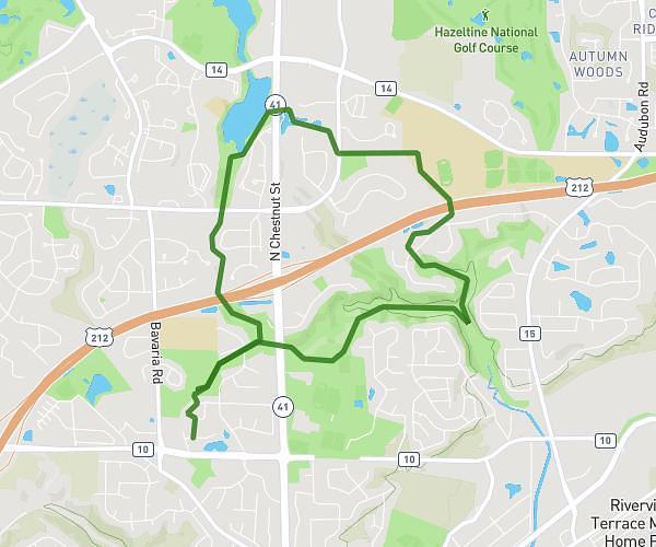
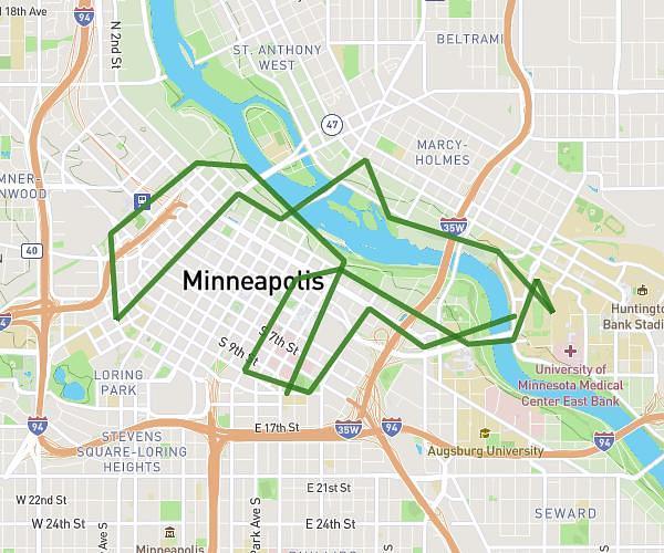
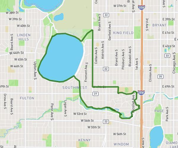
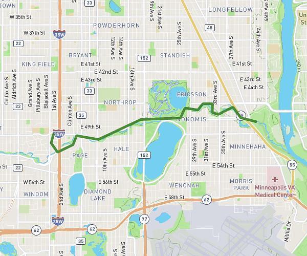
This cycling route covers 8.144mi starting from Minneapolis, Minnesota. The ride does not return to the trailhead and ends near 2801 Burnham Boulevard, Minneapolis, Minnesota 55416, United States. This route is rated as easy, plan for about 49m to complete it. The route has an elevation gain of 66ft and an elevation loss of 69ft.
to hidden beach
Route details
430 kcal
Calories burned
0.3%
Avg grade
Point to point
Route type
840ft
Min altitude
883ft
Max altitude
Route profile
66ft
Elevation gain
69ft
Elevation loss
840ft
Min altitude
883ft
Max altitude
How to get there
Trailhead: 5003 1st Avenue South, Minneapolis, Minnesota 55419, United States
GPS coordinates of the trailhead: 44.91224, -93.27668 / 44°54'44'' N, 93°16'36'' W