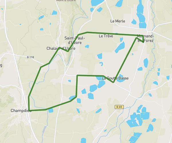
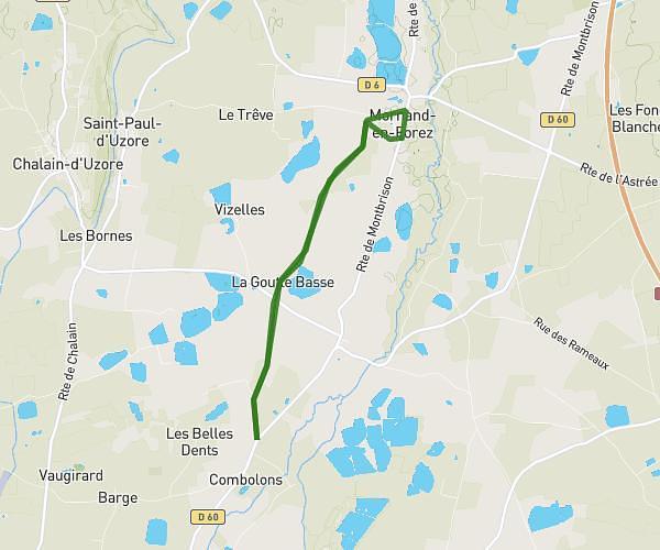
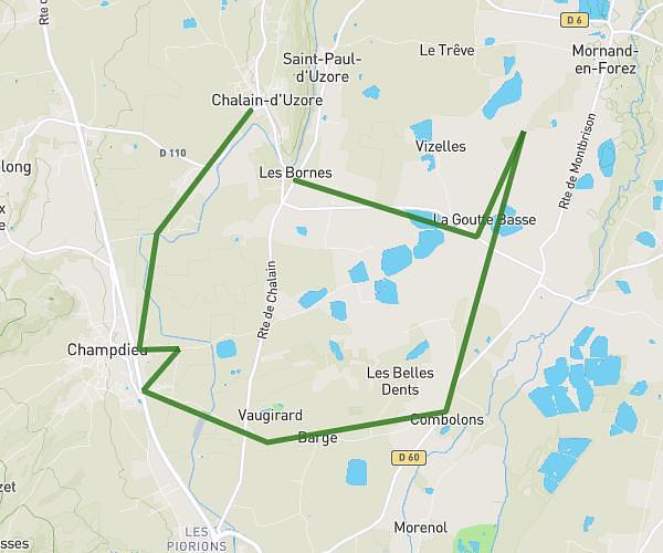
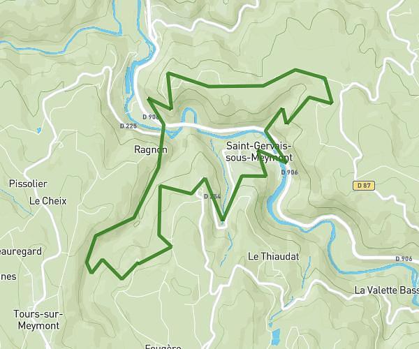
This running route covers 11.706mi starting from Saint-Bonnet-le-Courreau, Loire. The run is a loop trail and returns to the trailhead. This run is rated as strenuous, expect about 2h to complete it. The route has an elevation gain of 748ft and an elevation loss of 748ft.
Matinale
Route details
5.85mph
Speed
1372 kcal
Calories burned
Loop trail
Route type
3245ft
Min altitude
3993ft
Max altitude
Route profile
748ft
Elevation gain
748ft
Elevation loss
3245ft
Min altitude
3993ft
Max altitude
How to get there
Trailhead: Route Du Forestier, 42940 Saint-Bonnet-le-Courreau
GPS coordinates of the trailhead: 45.6682, 3.95116 / 45°40'5'' N, 3°57'4'' E