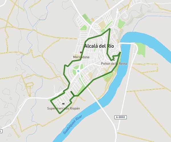
This walking route covers 3.166mi starting from Bollullos de la Mitación, Seville. The walk is a loop trail and returns to the trailhead. This walk is rated as moderate, plan for about 15m17s to complete it. The route has an elevation gain of 98ft and an elevation loss of 98ft.
bollullos
Route details
4:50/mi
Pace
62 kcal
Calories burned
Loop trail
Route type
249ft
Min altitude
341ft
Max altitude
Route profile
98ft
Elevation gain
98ft
Elevation loss
249ft
Min altitude
341ft
Max altitude
How to get there
Trailhead: Calle San Juanito De Escobedo 21, 41110 Bollullos de la Mitación, Seville, Spain
GPS coordinates of the trailhead: 37.33832, -6.14379 / 37°20'17'' N, 6°8'37'' W