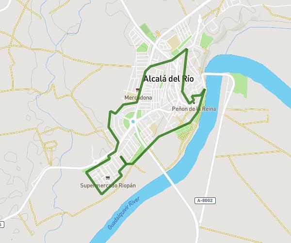
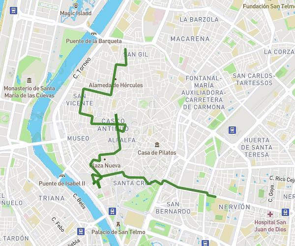
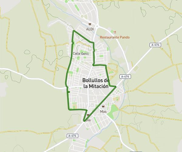
This walking route covers 4.403mi starting from Camas, Seville. The walk does not return to the trailhead and ends near Carretera De Sevilla A Almonte Por Pilas, 41930 Bormujos. This walk is rated as moderate, plan for about 1h34m to complete it. The route has an elevation gain of 469ft and an elevation loss of 253ft.
Choza Manuela
Route details
21:22/mi
Pace
384 kcal
Calories burned
Point to point
Route type
39ft
Min altitude
390ft
Max altitude
Route profile
469ft
Elevation gain
253ft
Elevation loss
39ft
Min altitude
390ft
Max altitude
How to get there
Trailhead: Calle Juan Agustín Palomar, 41900 Camas
GPS coordinates of the trailhead: 37.40289, -6.03358 / 37°24'10'' N, 6°2'0'' W