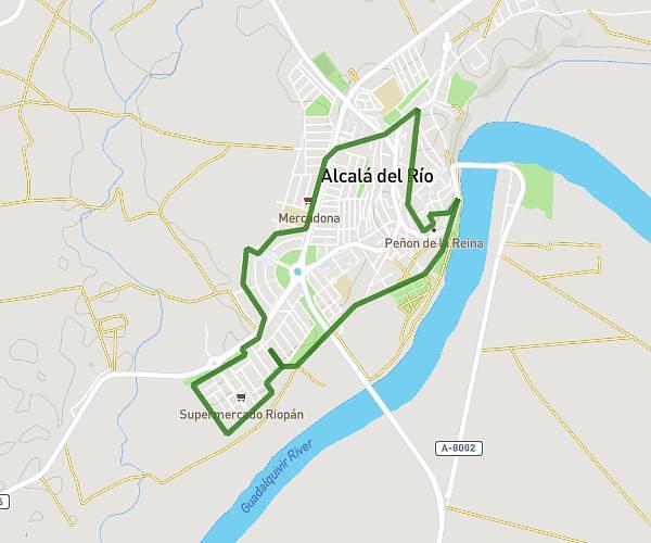
This walking route covers 4.223mi starting from Sevilla, Seville. The walk does not return to the trailhead and ends near Avenida De Eduardo Dato 39, 41018 Sevilla, Seville, Spain. This walk is rated as moderate, plan for about 1h41m to complete it. The route has an elevation gain of 318ft and an elevation loss of 308ft.
Via Crucis
Route details
24:08/mi
Pace
416 kcal
Calories burned
Point to point
Route type
23ft
Min altitude
82ft
Max altitude
Route profile
318ft
Elevation gain
308ft
Elevation loss
23ft
Min altitude
82ft
Max altitude
How to get there
Trailhead: Calle Faustino Álvarez 55, 41002 Sevilla, Seville, Spain
GPS coordinates of the trailhead: 37.402327, -5.992273 / 37°24'8'' N, 5°59'32'' W