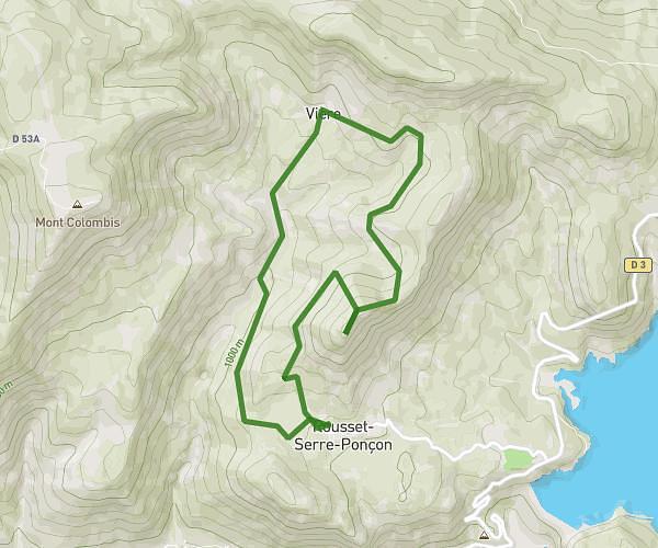
This hiking trail covers 9.968mi starting from Champoléon, Hautes-Alpes. The hike is a loop trail and returns to the trailhead. This hike is rated as strenuous, plan for about 8h34m to complete it. The route has an elevation gain of 4567ft and an elevation loss of 4564ft.
croupillouse
Route details
1.16mph
Speed
4118 kcal
Calories burned
17.3%
Avg grade
Loop trail
Route type
4455ft
Min altitude
8743ft
Max altitude
High altitude
Steep climb
Route profile
4567ft
Elevation gain
4564ft
Elevation loss
4455ft
Min altitude
8743ft
Max altitude
How to get there
Trailhead: Route Des Clots, 05260 Champoléon
GPS coordinates of the trailhead: 44.73853, 6.24813 / 44°44'18'' N, 6°14'53'' E