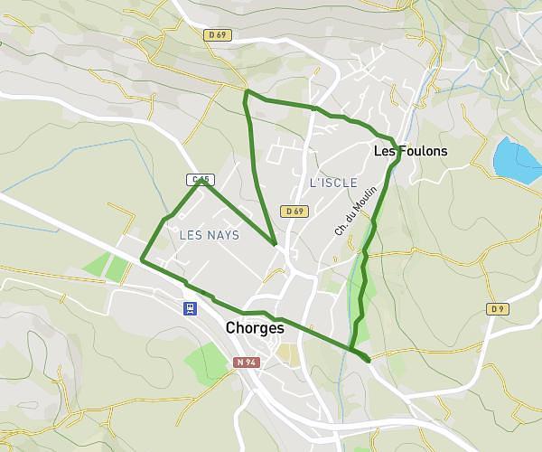
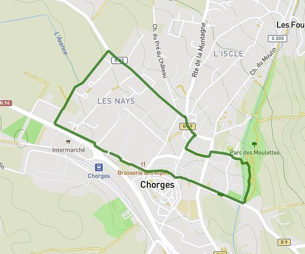
This hiking trail covers 2.888mi starting from Chorges, Hautes-Alpes. The hike is a loop trail and returns to the trailhead. This hike is rated as easy, plan for about 1h3m to complete it. The route has an elevation gain of 285ft and an elevation loss of 289ft.
Parcours 2
Route details
2.73mph
Speed
457 kcal
Calories burned
3.8%
Avg grade
Loop trail
Route type
2805ft
Min altitude
3022ft
Max altitude
Route profile
285ft
Elevation gain
289ft
Elevation loss
2805ft
Min altitude
3022ft
Max altitude
How to get there
Trailhead: 196 Avenue Des Martyrs, 05230 Chorges, France
GPS coordinates of the trailhead: 44.546471, 6.272531 / 44°32'47'' N, 6°16'21'' E