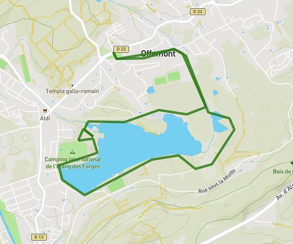
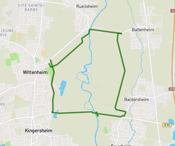
This running route covers 3.995mi starting from Retzwiller, Haut-Rhin. The run is a loop trail and returns to the trailhead. This run is rated as easy, expect about 39m to complete it. The route has an elevation gain of 240ft and an elevation loss of 240ft.
test
Route details
6.15mph
Speed
446 kcal
Calories burned
Loop trail
Route type
981ft
Min altitude
1132ft
Max altitude
Route profile
240ft
Elevation gain
240ft
Elevation loss
981ft
Min altitude
1132ft
Max altitude
How to get there
Trailhead: Rue De Belfort, 68210 Retzwiller
GPS coordinates of the trailhead: 47.63243, 7.10432 / 47°37'56'' N, 7°6'15'' E