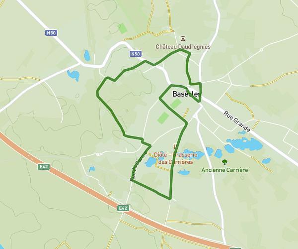
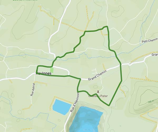
This hiking trail covers 25.307mi starting from Frasnes-lez-Anvaing, Hainaut. The hike is a loop trail and returns to the trailhead. This hike is rated as hard, plan for about 8h32m to complete it. The route has an elevation gain of 945ft and an elevation loss of 945ft.
Mob
Route details
2.96mph
Speed
3626 kcal
Calories burned
1.4%
Avg grade
Loop trail
Route type
105ft
Min altitude
367ft
Max altitude
Route profile
945ft
Elevation gain
945ft
Elevation loss
105ft
Min altitude
367ft
Max altitude
How to get there
Trailhead: Place Charles Lenoir 9, 7911 Frasnes-lez-Anvaing, Hainaut, Belgium
GPS coordinates of the trailhead: 50.655778, 3.619834 / 50°39'20'' N, 3°37'11'' E