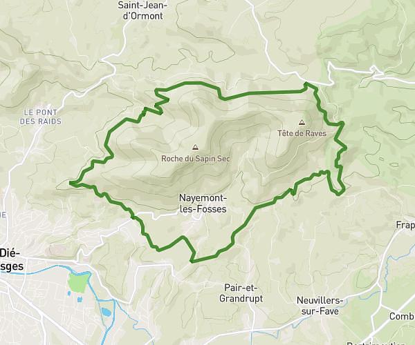
This running route covers 9.243mi starting from Bruyères, Vosges. The run is a loop trail and returns to the trailhead. This run is rated as hard, expect about 1h29m to complete it. The route has an elevation gain of 1959ft and an elevation loss of 1959ft.
Avison long
Route details
6.21mph
Speed
1020 kcal
Calories burned
Loop trail
Route type
1345ft
Min altitude
1913ft
Max altitude
Route profile
1959ft
Elevation gain
1959ft
Elevation loss
1345ft
Min altitude
1913ft
Max altitude
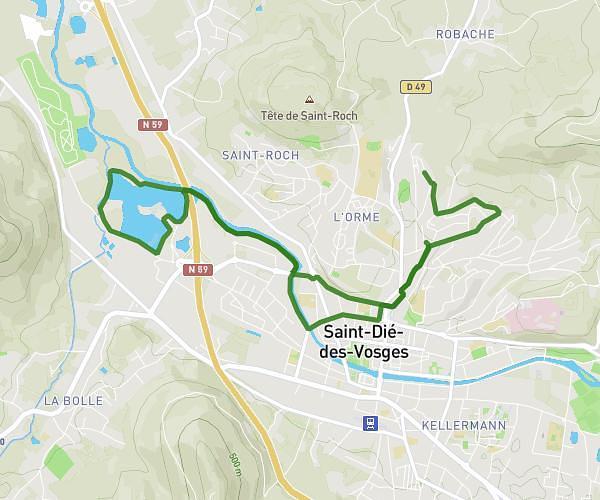
How to get there
Trailhead: Rue De Vielsalm, 88600 Bruyères
GPS coordinates of the trailhead: 48.2183, 6.72354 / 48°13'5'' N, 6°43'24'' E