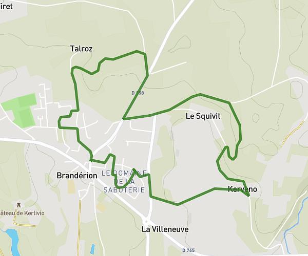
This running route covers 13.568mi starting from Plouay, Morbihan. The run does not return to the trailhead and ends near Rue Des Roses, 56700 Hennebont, France. This run is rated as strenuous, expect about 4h22m to complete it. The route has an elevation gain of 30ft and an elevation loss of 210ft.
Raid service 1
Route details
3.11mph
Speed
2996 kcal
Calories burned
Point to point
Route type
89ft
Min altitude
276ft
Max altitude
Route profile
30ft
Elevation gain
210ft
Elevation loss
89ft
Min altitude
276ft
Max altitude
How to get there
Trailhead: D 102, 56240 Plouay, France
GPS coordinates of the trailhead: 47.91366, -3.3156 / 47°54'49'' N, 3°18'56'' W