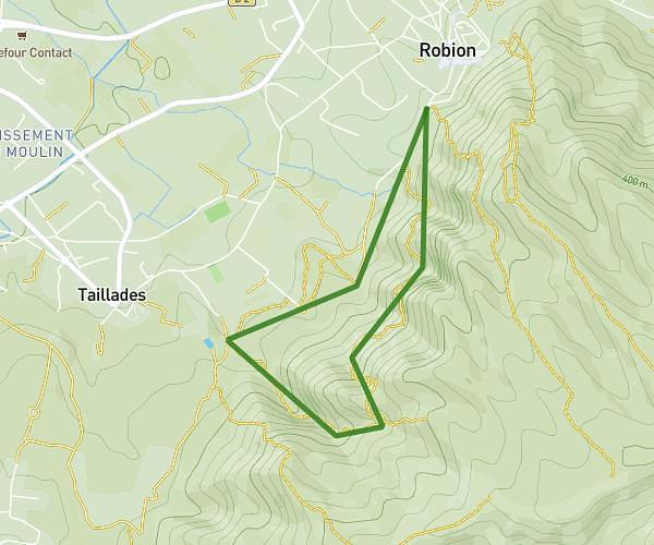
This hiking trail covers 2.979mi starting from Avignon, Vaucluse. The hike is a loop trail and returns to the trailhead. This hike is rated as easy, plan for about 58m to complete it. The route has an elevation gain of 180ft and an elevation loss of 180ft.
RUE JOSE VERNET
Route details
3.08mph
Speed
414 kcal
Calories burned
2.3%
Avg grade
Loop trail
Route type
62ft
Min altitude
115ft
Max altitude
Route profile
180ft
Elevation gain
180ft
Elevation loss
62ft
Min altitude
115ft
Max altitude
How to get there
Trailhead: Avenue De L'arrousaire, 84000 Avignon
GPS coordinates of the trailhead: 43.93733, 4.81464 / 43°56'14'' N, 4°48'52'' E