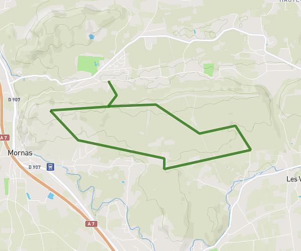
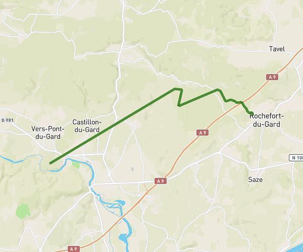
This hiking trail covers 11.965mi starting from Rochefort-du-Gard, Gard. The hike does not return to the trailhead and ends near Chemin D'aramon, 30290 Saint-Victor-la-Coste, France. This hike is rated as strenuous, plan for about 4h24m to complete it. The route has an elevation gain of 1719ft and an elevation loss of 1745ft.
Pré Treck 1
Route details
2.72mph
Speed
1932 kcal
Calories burned
5.5%
Avg grade
Point to point
Route type
328ft
Min altitude
886ft
Max altitude
Route profile
1719ft
Elevation gain
1745ft
Elevation loss
328ft
Min altitude
886ft
Max altitude
How to get there
Trailhead: Rue Arnaud Beltrame, 30650 Rochefort-du-Gard, France
GPS coordinates of the trailhead: 43.976786, 4.679558 / 43°58'36'' N, 4°40'46'' E