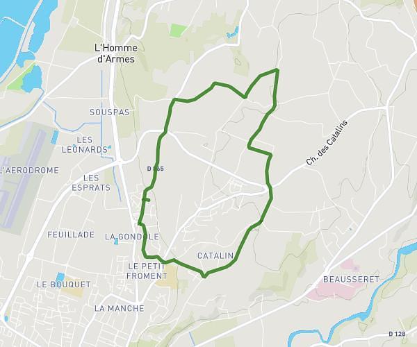
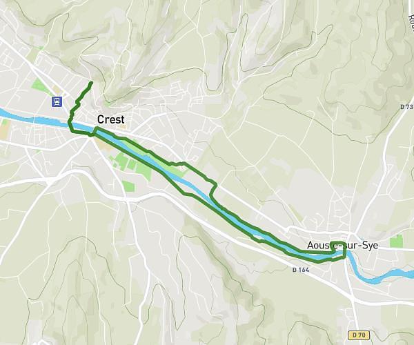
This running route covers 3.951mi starting from Montélimar, Drôme. The run is a loop trail and returns to the trailhead. This run is rated as easy, expect about 35m11s to complete it. The route has an elevation gain of 46ft and an elevation loss of 23ft.
Alexis 6,4km
Route details
6.74mph
Speed
402 kcal
Calories burned
Loop trail
Route type
236ft
Min altitude
276ft
Max altitude
Route profile
46ft
Elevation gain
23ft
Elevation loss
236ft
Min altitude
276ft
Max altitude
How to get there
Trailhead: D 237, 26200 Montélimar, France
GPS coordinates of the trailhead: 44.53504, 4.72719 / 44°32'6'' N, 4°43'37'' E