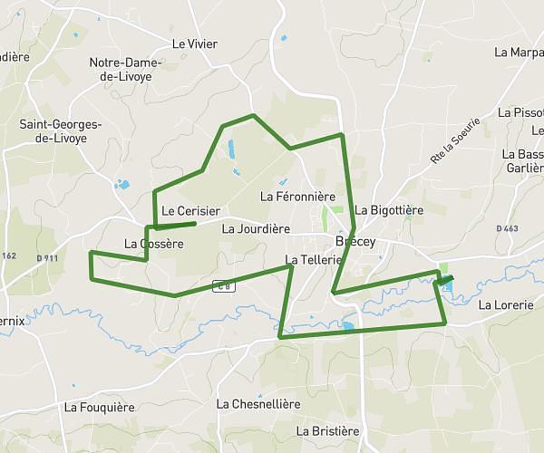
This running route covers 5.522mi starting from Isigny-le-Buat, Manche. The run is a loop trail and returns to the trailhead. This run is rated as moderate, expect about 59m to complete it. The route has an elevation gain of 305ft and an elevation loss of 79ft.
llll
Route details
5.62mph
Speed
675 kcal
Calories burned
Loop trail
Route type
292ft
Min altitude
518ft
Max altitude
Route profile
305ft
Elevation gain
79ft
Elevation loss
292ft
Min altitude
518ft
Max altitude
How to get there
Trailhead: 2 Chemin Des Médris, 50540 Isigny-le-Buat, France
GPS coordinates of the trailhead: 48.64865, -1.20416 / 48°38'55'' N, 1°12'14'' W