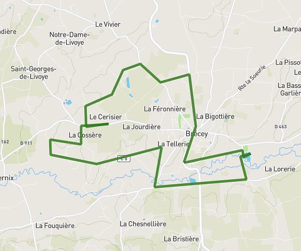
This running route covers 2.441mi starting from Saint-Clément-Rancoudray, Manche. The run is a loop trail and returns to the trailhead. This run is rated as easy, expect about 29m23s to complete it. The route has an elevation gain of 194ft and an elevation loss of 194ft.
Parcours a saint clément
Route details
4.98mph
Speed
336 kcal
Calories burned
Loop trail
Route type
869ft
Min altitude
974ft
Max altitude
Route profile
194ft
Elevation gain
194ft
Elevation loss
869ft
Min altitude
974ft
Max altitude
How to get there
Trailhead: 4 Rue Des Pensées, 50140 Saint-Clément-Rancoudray, France
GPS coordinates of the trailhead: 48.67547, -0.88732 / 48°40'31'' N, 0°53'14'' W