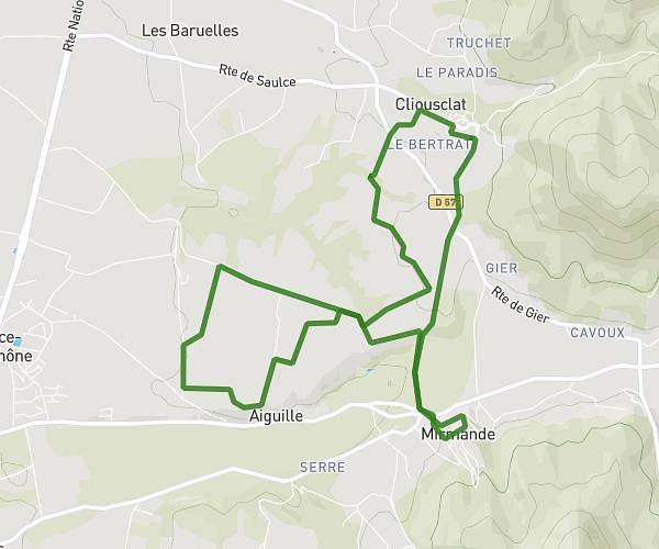
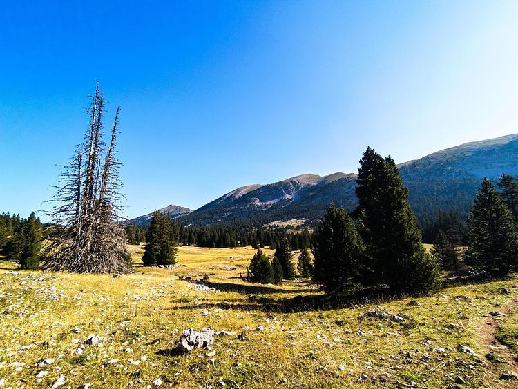
This hiking trail covers 7.808mi starting from Malataverne, Drôme. The hike is a loop trail and returns to the trailhead. This hike is rated as moderate, plan for about 3h4m to complete it. The route has an elevation gain of 1132ft and an elevation loss of 1138ft.
Rac montchamp
Route details
2.55mph
Speed
1347 kcal
Calories burned
5.5%
Avg grade
Loop trail
Route type
299ft
Min altitude
1040ft
Max altitude
Route profile
1132ft
Elevation gain
1138ft
Elevation loss
299ft
Min altitude
1040ft
Max altitude
How to get there
Trailhead: 60 Allée Des Écureuils, 26780 Malataverne, France
GPS coordinates of the trailhead: 44.491732, 4.732119 / 44°29'30'' N, 4°43'55'' E