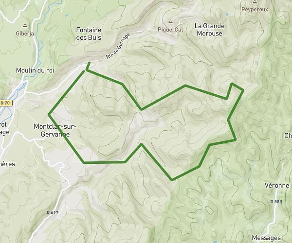
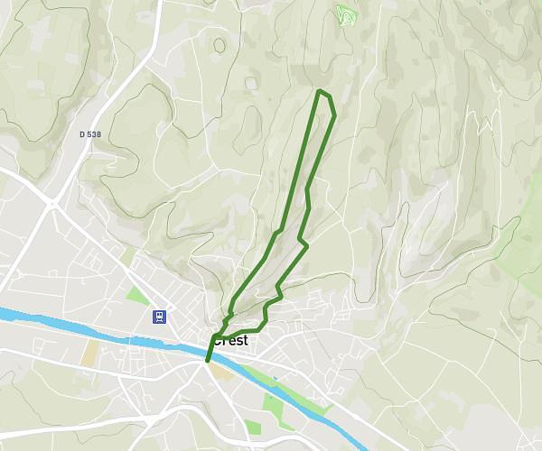
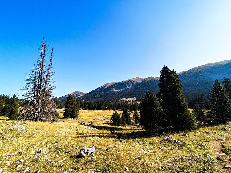
This hiking trail covers 6.029mi starting from Cliousclat, Drôme. The hike is a loop trail and returns to the trailhead. This hike is rated as moderate, plan for about 3h14m to complete it. The route has an elevation gain of 830ft and an elevation loss of 827ft.
Boucle 9,7 km Cliousclat / Mirmande
Route details
1.86mph
Speed
1417 kcal
Calories burned
5.2%
Avg grade
Loop trail
Route type
492ft
Min altitude
774ft
Max altitude
Route profile
830ft
Elevation gain
827ft
Elevation loss
492ft
Min altitude
774ft
Max altitude
How to get there
Trailhead: 18 Venelle De La Motte, 26270 Cliousclat, France
GPS coordinates of the trailhead: 44.715014, 4.837083 / 44°42'54'' N, 4°50'13'' E