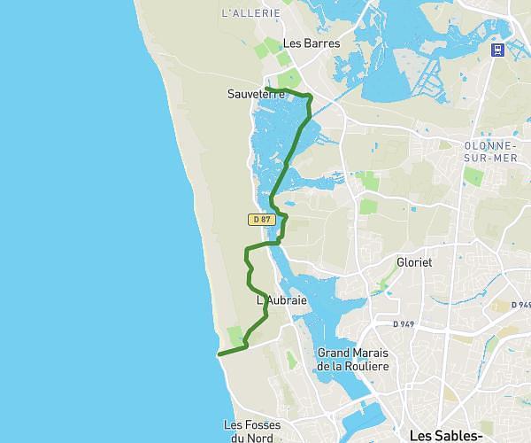
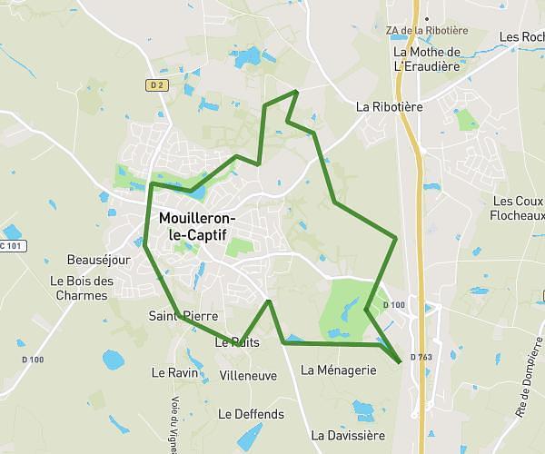
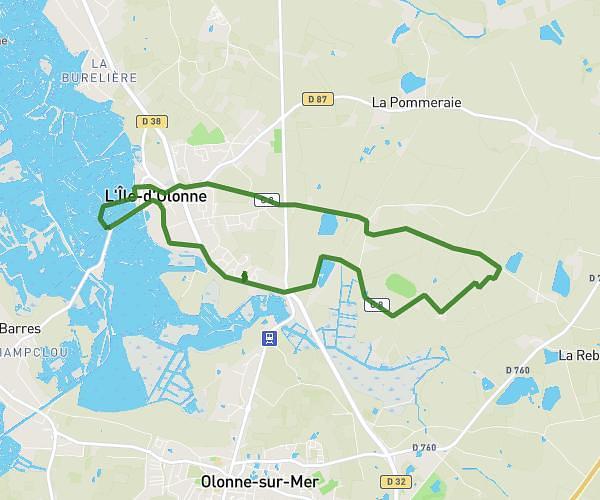
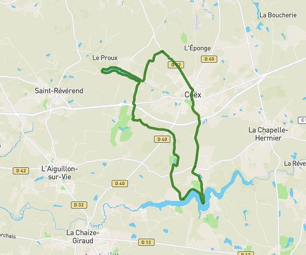
This hiking trail covers 25.55mi starting from Aizenay, Vendée. The hike is a loop trail and returns to the trailhead. This hike is rated as hard, plan for about 3h9m to complete it. The route has an elevation gain of 469ft and an elevation loss of 472ft.
michou
Route details
8.08mph
Speed
1336 kcal
Calories burned
0.7%
Avg grade
Loop trail
Route type
171ft
Min altitude
279ft
Max altitude
Route profile
469ft
Elevation gain
472ft
Elevation loss
171ft
Min altitude
279ft
Max altitude
How to get there
Trailhead: 121 Route Du Poiré, 85190 Aizenay, France
GPS coordinates of the trailhead: 46.739933, -1.5918 / 46°44'23'' N, 1°35'30'' W