This running route covers 17.984mi starting from Ayguesvives, Haute-Garonne. The run does not return to the trailhead and ends near Chemin De La Fount Des Faourès, 11320 Montferrand. This run is rated as strenuous, expect about 3h21m to complete it. The route has an elevation gain of 1152ft and an elevation loss of 965ft.
Ayguesvives -> Gui & Prissou
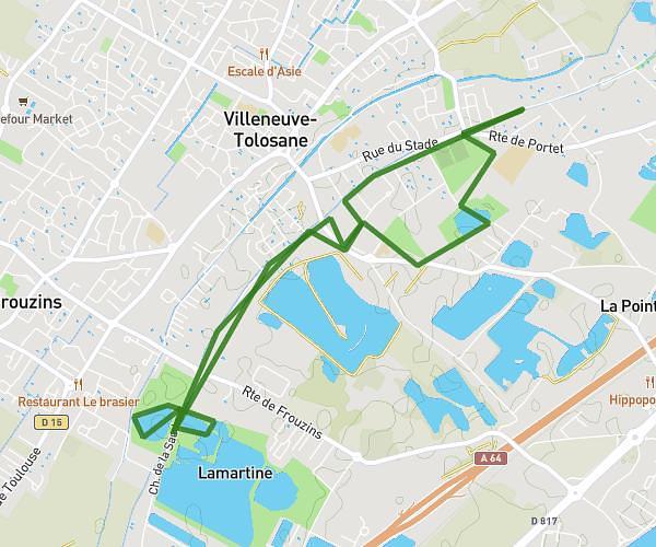
Route details
5.34mph
Speed
2309 kcal
Calories burned
Point to point
Route type
512ft
Min altitude
906ft
Max altitude
Route profile
1152ft
Elevation gain
965ft
Elevation loss
512ft
Min altitude
906ft
Max altitude
How to get there
Trailhead: Chemin De La Méditerranée, 31450 Ayguesvives
GPS coordinates of the trailhead: 43.44697, 1.59949 / 43°26'49'' N, 1°35'58'' E