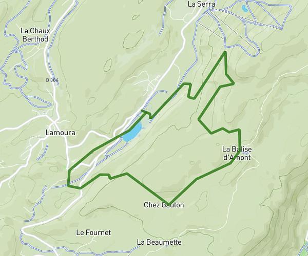
This running route covers 7.279mi starting from Mont-sous-Vaudrey, Jura. The run is a loop trail and returns to the trailhead. This run is rated as moderate, expect about 1h20m to complete it. The route has an elevation gain of 407ft and an elevation loss of 407ft.
Boucle bois Vaudrey
Route details
5.46mph
Speed
915 kcal
Calories burned
Loop trail
Route type
719ft
Min altitude
830ft
Max altitude
Route profile
407ft
Elevation gain
407ft
Elevation loss
719ft
Min altitude
830ft
Max altitude
How to get there
Trailhead: Rue Louis Guillaume, 39380 Mont-sous-Vaudrey
GPS coordinates of the trailhead: 46.97771, 5.59807 / 46°58'39'' N, 5°35'53'' E