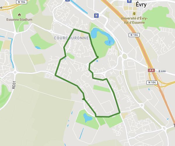
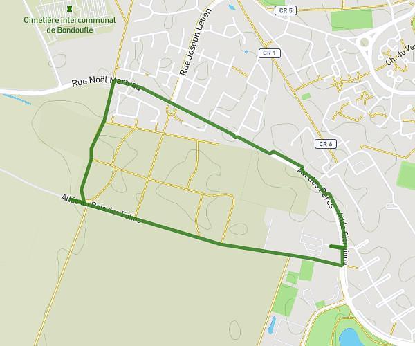
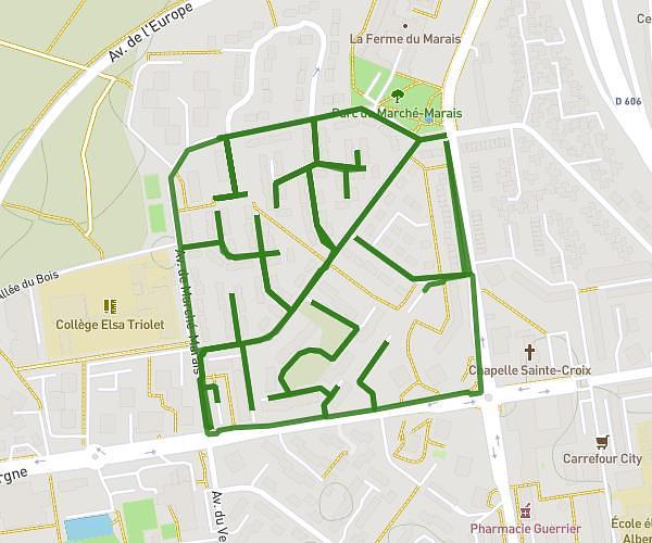
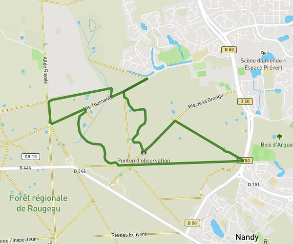
Explore this hiking route of 3.699mi starting from Savigny-le-Temple, Seine-et-Marne. The hike is a loop and returns to the starting point. This hike has no defined difficulty level, plan for about 31m to complete it. The route has a positive elevation gain of 59ft and a negative elevation loss of 59ft.
foret de Rougeau 5,9km
Route details
Route profile
59ft
Elevation +
59ft
Elevation -
285ft
Min altitude
308ft
Max altitude
How to get there
Route starting point: Chemin Des Maisons Forestières, 77176 Savigny-le-Temple, France
GPS coordinates of the starting point: 48.598971, 2.547403 / 48°35'56'' N, 2°32'50'' E