MapPlanner
4.81mi
Distance
1h30m
Duration
+128ft
Elevation gain
-128ft
Elevation loss
Easy
Level

Maison forestiere 7,7km

Route details

3.21mph
Speed
635 kcal
Calories burned
1.0%
Avg grade
Loop trail
Route type
285ft
Min altitude
308ft
Max altitude
Technicity: Easy

This hiking trail covers 4.81mi starting from Savigny-le-Temple, Seine-et-Marne. The hike is a loop trail and returns to the trailhead. This hike is rated as easy, plan for about 1h30m to complete it. The route has an elevation gain of 128ft and an elevation loss of 128ft.

Route profile

128ft
Elevation gain
128ft
Elevation loss
285ft
Min altitude
308ft
Max altitude

How to get there

Trailhead: Chemin Des Maisons Forestières, 77176 Savigny-le-Temple, France

GPS coordinates of the trailhead: 48.59894, 2.54725 / 48°35'56'' N, 2°32'50'' E
Download / Export

GPX

Hiking trails nearby

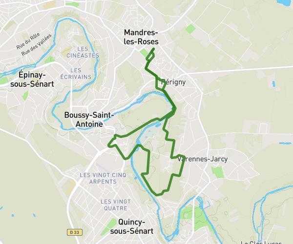
Autour de Mandres-les-Roses
Sarah Santos
Hiking
Moderate

Autour de Mandres-les-Roses

5.679mi
2h7m
+374ft
Val-de-Marne - Mandres-les-Roses
J1 bis
domadi
Hiking
Moderate

J1 bis

5.178mi
1h52m
+207ft
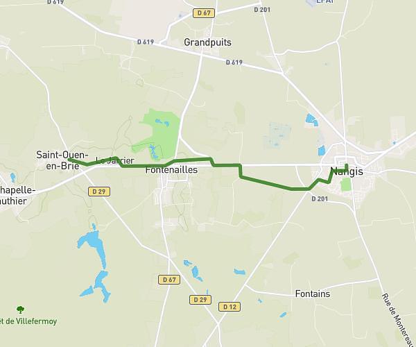
Seine-et-Marne - Saint-Ouen-en-Brie
J1 matin
domadi
Hiking
Moderate

J1 matin

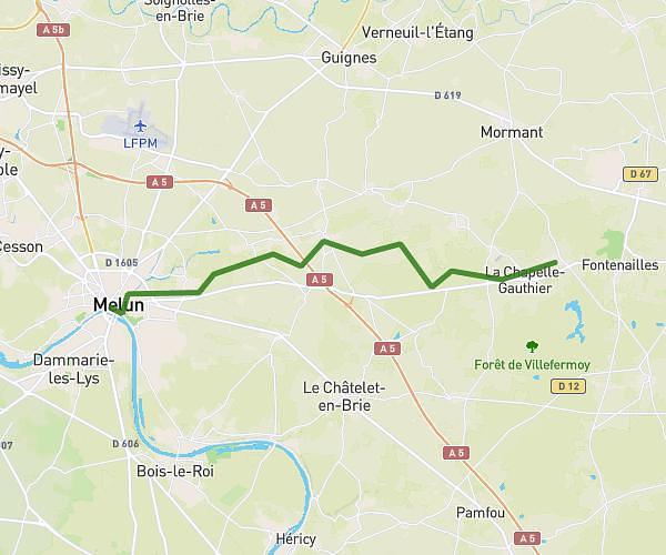
15.643mi
5h26m
+558ft
Seine-et-Marne - Melun
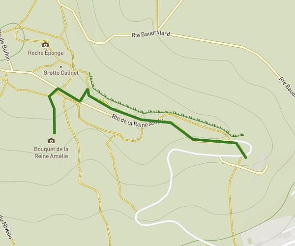
5. Bouquet de la reine Amélie
raph99
Hiking
Easy

5. Bouquet de la reine Amélie

0.774mi
22m
+85ft
Seine-et-Marne - Fontainebleau

Recommended routes for you

LeMee Nord
evangelization journey planner
Hiking
Easy

LeMee Nord

4.817mi
1h36m
+203ft
Seine-et-Marne - Le Mée-sur-Seine

Caution: May Cross Private Property

This route may pass through or near private property. Always respect posted signs, obtain permission where required, and follow local trespassing laws. MapPlanner does not guarantee public access along any route.

Safety Notice

Trail and road conditions may change without notice due to weather, construction, or other factors. Always verify current conditions before heading out. You are responsible for your own safety — follow local signage, obey traffic laws, and use your best judgment on the trail.