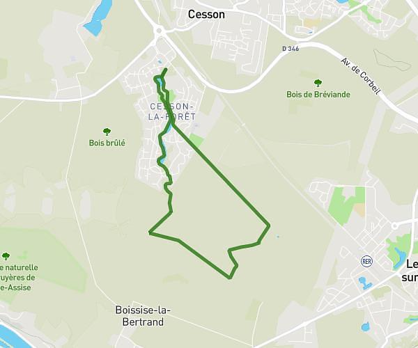
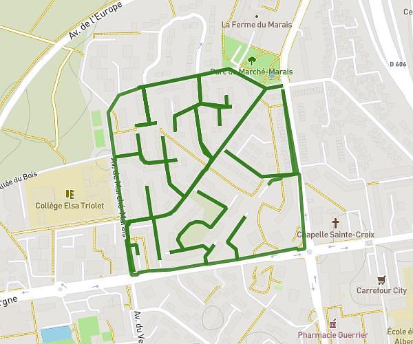
This hiking trail covers 4.086mi starting from Nandy, Seine-et-Marne. The hike is a loop trail and returns to the trailhead. This hike is rated as easy, plan for about 2h18m to complete it. The route has an elevation gain of 151ft and an elevation loss of 151ft.
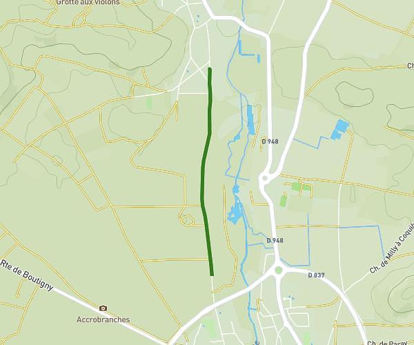
Pavillon royal Nandy 6,5km
Route details
1.78mph
Speed
977 kcal
Calories burned
1.4%
Avg grade
Loop trail
Route type
259ft
Min altitude
308ft
Max altitude
Route profile
151ft
Elevation gain
151ft
Elevation loss
259ft
Min altitude
308ft
Max altitude
How to get there
Trailhead: 295 Avenue Du Pavillon Royal, 77176 Nandy, France
GPS coordinates of the trailhead: 48.575294, 2.546976 / 48°34'31'' N, 2°32'49'' E