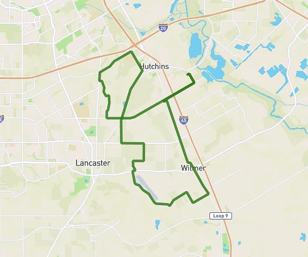
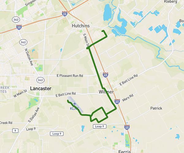
This cycling route covers 25.895mi starting from Hutchins, Texas. The ride is a loop trail and returns to the trailhead. This route is rated as moderate, plan for about 2h36m to complete it. The route has an elevation gain of 203ft and an elevation loss of 167ft.
2025 HHHH 25-50mi Route
Route details
1368 kcal
Calories burned
0.3%
Avg grade
Loop trail
Route type
433ft
Min altitude
568ft
Max altitude
Route profile
203ft
Elevation gain
167ft
Elevation loss
433ft
Min altitude
568ft
Max altitude
How to get there
Trailhead: 1601 Burns Drive, Hutchins, Texas 75141, United States
GPS coordinates of the trailhead: 32.644406, -96.689442 / 32°38'39'' N, 96°41'21'' W