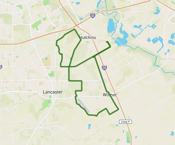
This cycling route covers 24.79mi starting from Hutchins, Texas. The ride is a loop trail and returns to the trailhead. This route is rated as moderate, plan for about 1h54m to complete it. The route has an elevation gain of 135ft and an elevation loss of 92ft.
Description of the route by the creator
Change up in route due to construction. Stay on Miller's Ferry through Wilmer, right on Lavender and then left to go down the Lavender hill and to the Airport rest stop. Head back and go left on Van and take it to Mason and then go down the Lavender hill again. Take Van back to Mason and this time left on Lavender and back the way you started.