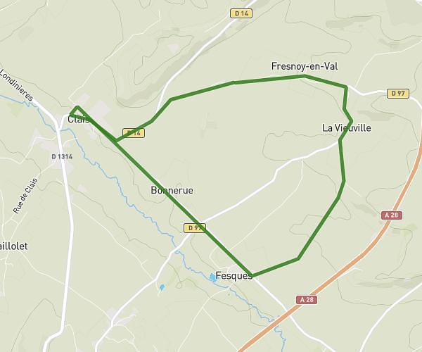
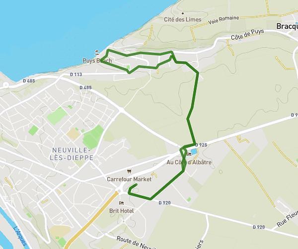
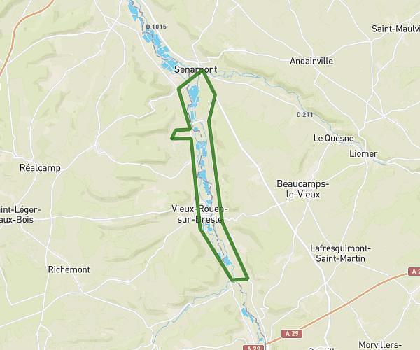
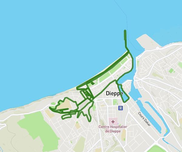
This running route covers 4.024mi starting from Étalondes, Seine-Maritime. The run is a loop trail and returns to the trailhead. This run is rated as easy, expect about 34m to complete it. The route has an elevation gain of 154ft and an elevation loss of 154ft.
procain
Route details
7.1mph
Speed
389 kcal
Calories burned
Loop trail
Route type
194ft
Min altitude
289ft
Max altitude
Route profile
154ft
Elevation gain
154ft
Elevation loss
194ft
Min altitude
289ft
Max altitude
How to get there
Trailhead: Rue Du Mesnil Sterling, 76260 Étalondes
GPS coordinates of the trailhead: 50.03654, 1.39377 / 50°2'11'' N, 1°23'37'' E