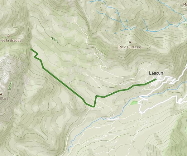
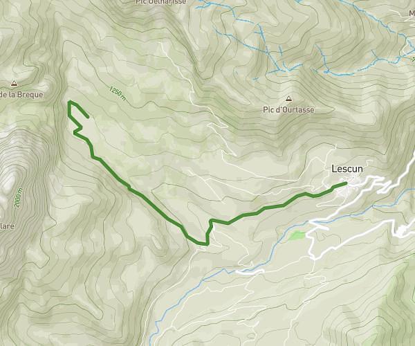
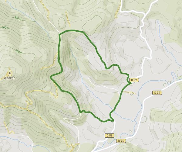
This walking route covers 2.922mi starting from Bilhères, Pyrénées-Atlantiques. The walk is a loop trail and returns to the trailhead. This walk is rated as easy, plan for about 1h3m to complete it. The route has an elevation gain of 1378ft and an elevation loss of 1378ft.
Pic d'Escurets par le col de Marie Blanque
Route details
21:33/mi
Pace
257 kcal
Calories burned
Loop trail
Route type
3389ft
Min altitude
4701ft
Max altitude
Route profile
1378ft
Elevation gain
1378ft
Elevation loss
3389ft
Min altitude
4701ft
Max altitude
How to get there
Trailhead: D 294, 64260 Bilhères
GPS coordinates of the trailhead: 43.07039, -0.5075 / 43°4'13'' N, 0°30'26'' W