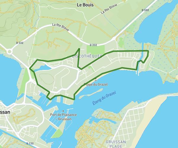
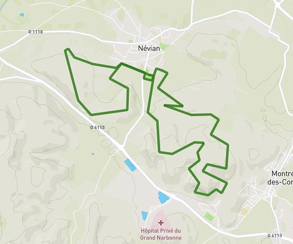
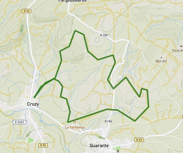
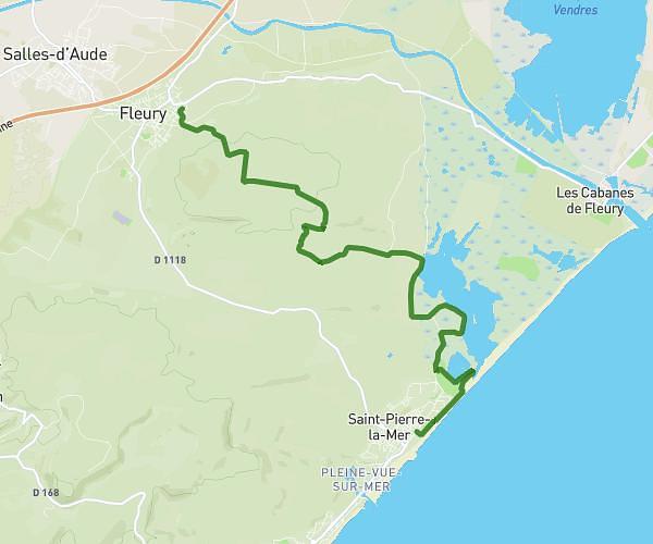
This running route covers 10.373mi starting from Saint-André-de-Roquelongue, Aude. The run is a loop trail and returns to the trailhead. This run is rated as hard, expect about 1h51m to complete it. The route has an elevation gain of 614ft and an elevation loss of 600ft.
Trail Saint André
Route details
5.6mph
Speed
1269 kcal
Calories burned
Loop trail
Route type
167ft
Min altitude
781ft
Max altitude
Route profile
614ft
Elevation gain
600ft
Elevation loss
167ft
Min altitude
781ft
Max altitude
How to get there
Trailhead: 20 Impasse Du Portanel, 11200 Saint-André-de-Roquelongue, France
GPS coordinates of the trailhead: 43.109963, 2.833176 / 43°6'35'' N, 2°49'59'' E