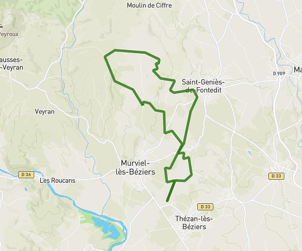
This running route covers 6.557mi starting from Cruzy, Hérault. The run is a loop trail and returns to the trailhead. This run is rated as moderate, expect about 1h10m to complete it. The route has an elevation gain of 764ft and an elevation loss of 764ft.
Cross départemental
Route details
5.62mph
Speed
800 kcal
Calories burned
Loop trail
Route type
269ft
Min altitude
633ft
Max altitude
Route profile
764ft
Elevation gain
764ft
Elevation loss
269ft
Min altitude
633ft
Max altitude
How to get there
Trailhead: 3 Impasse Des Trois Six, 34310 Cruzy, France
GPS coordinates of the trailhead: 43.35682, 2.94268 / 43°21'24'' N, 2°56'33'' E