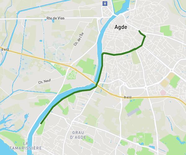
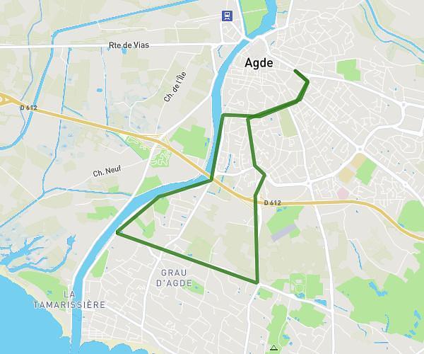
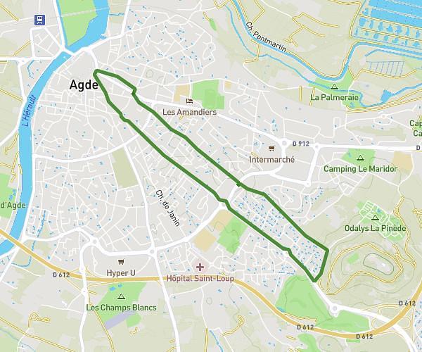
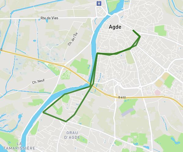
This running route covers 12.25mi starting from Thézan-lès-Béziers, Hérault. The run is a loop trail and returns to the trailhead. This run is rated as strenuous, expect about 2h11m to complete it. The route has an elevation gain of 1142ft and an elevation loss of 1142ft.
Coujan
Route details
5.61mph
Speed
1498 kcal
Calories burned
Loop trail
Route type
141ft
Min altitude
463ft
Max altitude
Route profile
1142ft
Elevation gain
1142ft
Elevation loss
141ft
Min altitude
463ft
Max altitude
How to get there
Trailhead: 13 Route De Murviel, 34490 Thézan-lès-Béziers, France
GPS coordinates of the trailhead: 43.429026, 3.158175 / 43°25'44'' N, 3°9'29'' E