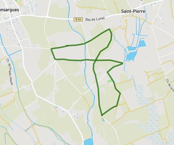
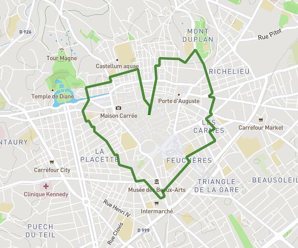
This running route covers 5.756mi starting from Nîmes, Gard. The run is a loop trail and returns to the trailhead. This run is rated as moderate, expect about 1h1m to complete it. The route has an elevation gain of 748ft and an elevation loss of 748ft.
9km nimes
Route details
5.59mph
Speed
706 kcal
Calories burned
Loop trail
Route type
184ft
Min altitude
384ft
Max altitude
Route profile
748ft
Elevation gain
748ft
Elevation loss
184ft
Min altitude
384ft
Max altitude
How to get there
Trailhead: 190 Rue Brillat Savarin, 30900 Nîmes, France
GPS coordinates of the trailhead: 43.8211, 4.31675 / 43°49'15'' N, 4°19'0'' E