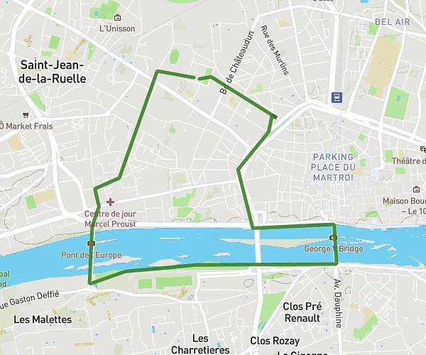
This running route covers 6.914mi starting from Saint-Jean-de-Braye, Loiret. The run is a loop trail and returns to the trailhead. This run is rated as moderate, expect about 55m to complete it. The route has an elevation gain of 318ft and an elevation loss of 312ft.
Parc Charbonnières
Route details
7.54mph
Speed
629 kcal
Calories burned
Loop trail
Route type
344ft
Min altitude
436ft
Max altitude
Route profile
318ft
Elevation gain
312ft
Elevation loss
344ft
Min altitude
436ft
Max altitude
How to get there
Trailhead: Chemin Du Bois De Charbonnière, 45800 Saint-Jean-de-Braye, France
GPS coordinates of the trailhead: 47.93339, 1.99206 / 47°56'0'' N, 1°59'31'' E