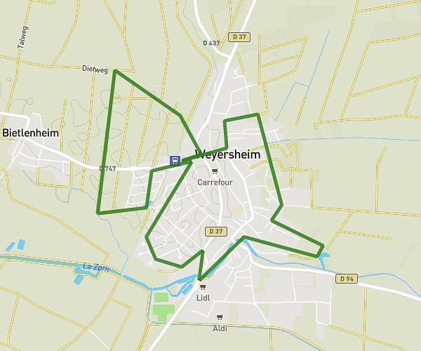
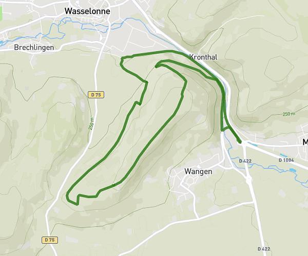
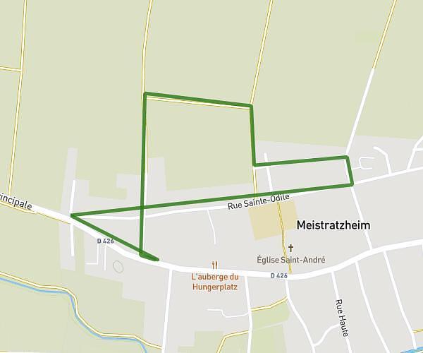
This running route covers 16.223mi starting from Strasbourg, Bas-Rhin. The run is a loop trail and returns to the trailhead. This run is rated as strenuous, expect about 2h54m to complete it. The route has an elevation gain of 16ft and an elevation loss of 13ft.
2026 = 26 km
Route details
5.59mph
Speed
1989 kcal
Calories burned
Loop trail
Route type
449ft
Min altitude
466ft
Max altitude
Route profile
16ft
Elevation gain
13ft
Elevation loss
449ft
Min altitude
466ft
Max altitude
How to get there
Trailhead: 4 Rue Du Fossé Des Tailleurs, 67000 Strasbourg, France
GPS coordinates of the trailhead: 48.58152, 7.74922 / 48°34'53'' N, 7°44'57'' E