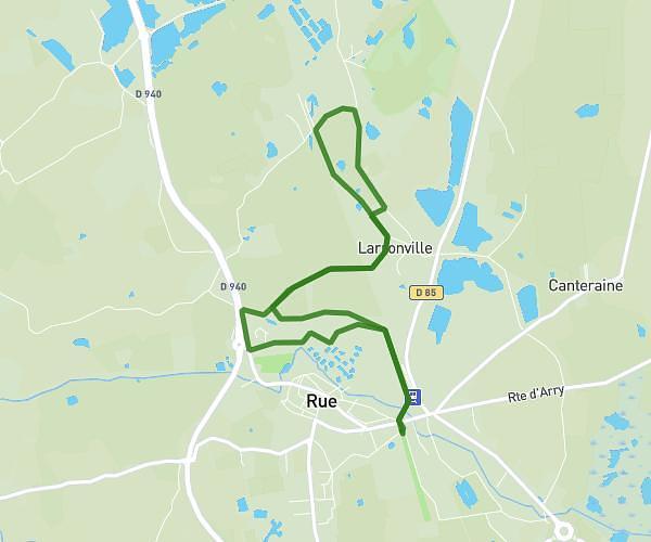
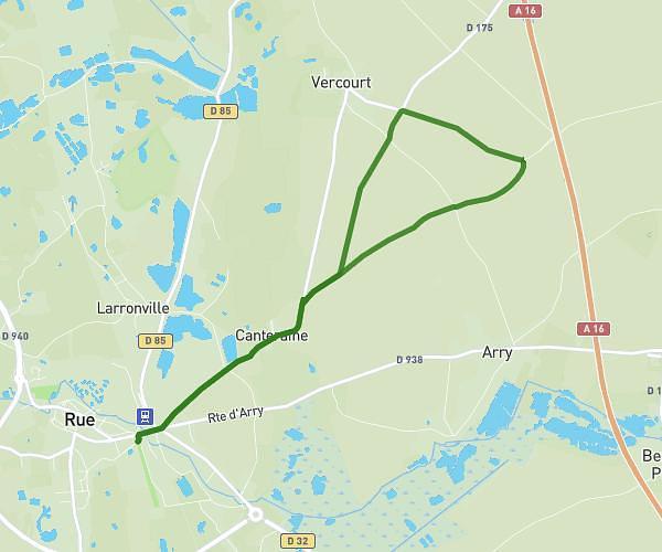
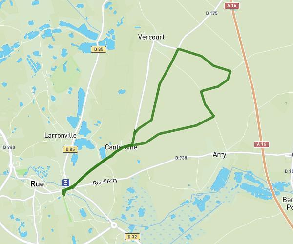
This running route covers 4.108mi starting from Fort-Mahon-Plage, Somme. The run is a loop trail and returns to the trailhead. This run is rated as easy, expect about 40m to complete it. The route has an elevation gain of 95ft and an elevation loss of 98ft.
Jeudi matin
Route details
6.16mph
Speed
457 kcal
Calories burned
Loop trail
Route type
16ft
Min altitude
49ft
Max altitude
Route profile
95ft
Elevation gain
98ft
Elevation loss
16ft
Min altitude
49ft
Max altitude
How to get there
Trailhead: Avenue De La Plage, 80120 Fort-Mahon-Plage
GPS coordinates of the trailhead: 50.33934, 1.5542 / 50°20'21'' N, 1°33'15'' E