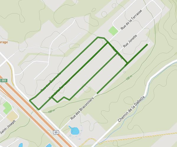
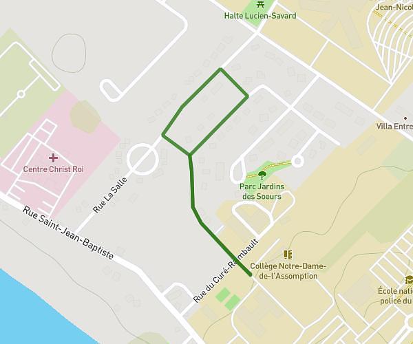
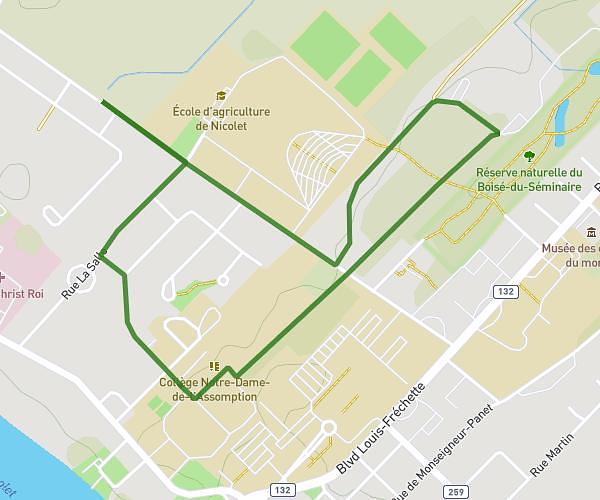
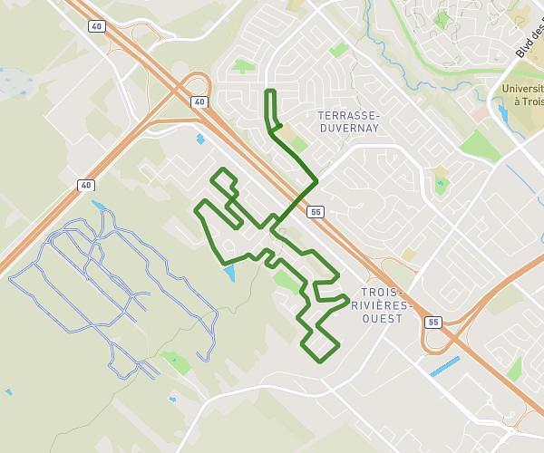
This running route covers 6.181mi starting from Nicolet, Quebec. The run is a loop trail and returns to the trailhead. This run is rated as moderate, expect about 1h6m to complete it. The route has an elevation gain of 305ft and an elevation loss of 305ft.
On s'éclate en couleurs 10km
Route details
5.59mph
Speed
758 kcal
Calories burned
Loop trail
Route type
16ft
Min altitude
95ft
Max altitude
Route profile
305ft
Elevation gain
305ft
Elevation loss
16ft
Min altitude
95ft
Max altitude
How to get there
Trailhead: 265 Rue Du Curé-Raimbault, Nicolet, Quebec J3T 1H5, Canada
GPS coordinates of the trailhead: 46.229577, -72.621249 / 46°13'46'' N, 72°37'16'' W