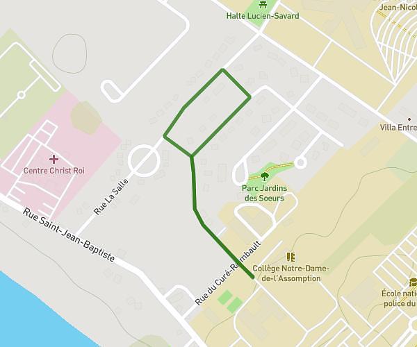
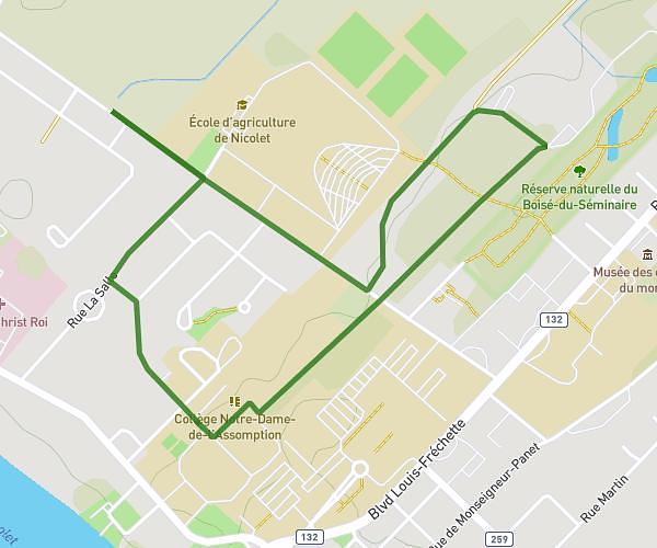
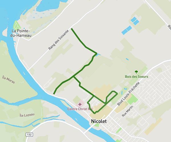
This running route covers 3.359mi starting from Saint-Étienne-des-Grès, Quebec. The run does not return to the trailhead and ends near 125 Rue Des Braconniers, Saint-Étienne-des-Grès, Quebec G0X 2P0, Canada. This run is rated as easy, expect about 36m2s to complete it. The route has an elevation gain of 89ft and an elevation loss of 115ft.
course marion 5 km
Route details
5.59mph
Speed
412 kcal
Calories burned
Point to point
Route type
328ft
Min altitude
361ft
Max altitude
Route profile
89ft
Elevation gain
115ft
Elevation loss
328ft
Min altitude
361ft
Max altitude
How to get there
Trailhead: 205 Rue Des Braconniers, Saint-Étienne-des-Grès, Quebec G0X 2P0, Canada
GPS coordinates of the trailhead: 46.44571, -72.75521 / 46°26'44'' N, 72°45'18'' W