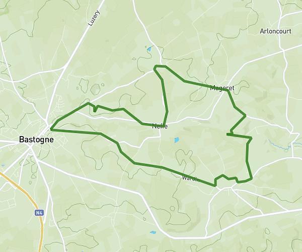
This running route covers 17.699mi starting from Bastogne, Luxembourg. The run is a loop trail and returns to the trailhead. This run is rated as strenuous, expect about 1h47m to complete it. The route has an elevation gain of 210ft and an elevation loss of 210ft.
Balade2
Route details
9.92mph
Speed
1223 kcal
Calories burned
Loop trail
Route type
1440ft
Min altitude
1650ft
Max altitude
Route profile
210ft
Elevation gain
210ft
Elevation loss
1440ft
Min altitude
1650ft
Max altitude
How to get there
Trailhead: Arloncourt 39, 6600 Bastogne, Luxembourg, Belgium
GPS coordinates of the trailhead: 50.02612, 5.80588 / 50°1'34'' N, 5°48'21'' E