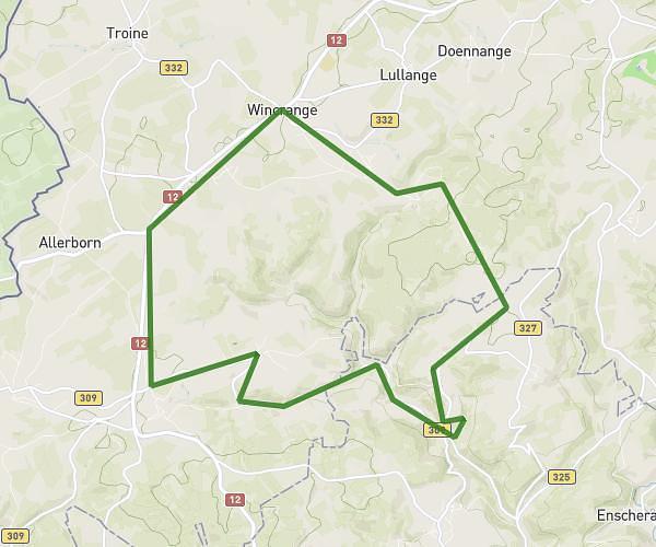
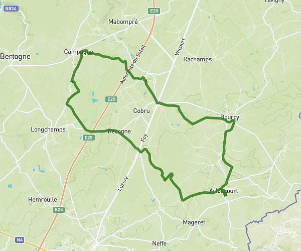
This running route covers 10.762mi starting from Bastogne, Luxembourg. The run is a loop trail and returns to the trailhead. This run is rated as easy, expect about 1h55m to complete it. The route has an elevation gain of 1191ft and an elevation loss of 1194ft.
Trail chill
Route details
5.59mph
Speed
1320 kcal
Calories burned
Loop trail
Route type
1375ft
Min altitude
1716ft
Max altitude
Route profile
1191ft
Elevation gain
1194ft
Elevation loss
1375ft
Min altitude
1716ft
Max altitude
How to get there
Trailhead: Mageret 457, 6600 Bastogne, Luxembourg, Belgium
GPS coordinates of the trailhead: 50.013744, 5.787255 / 50°0'49'' N, 5°47'14'' E