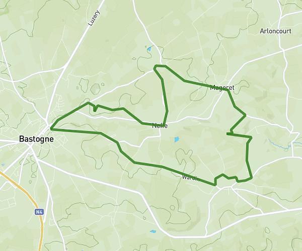
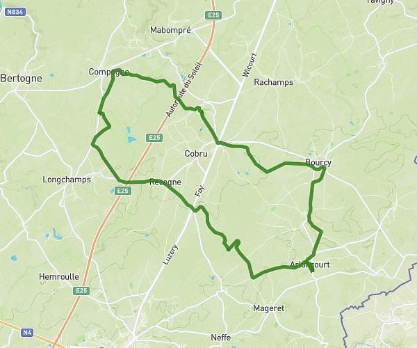
This running route covers 13.08mi starting from Selscheid, Wiltz. The run is a loop trail and returns to the trailhead. This run is rated as strenuous, expect about 2h20m to complete it. The route has an elevation gain of 1549ft and an elevation loss of 1549ft.
Veiga
Route details
5.6mph
Speed
1601 kcal
Calories burned
Loop trail
Route type
1132ft
Min altitude
1736ft
Max altitude
Route profile
1549ft
Elevation gain
1549ft
Elevation loss
1132ft
Min altitude
1736ft
Max altitude
How to get there
Trailhead: 13, Op Der Héicht, 9682 Selscheid, Luxembourg
GPS coordinates of the trailhead: 50.01875, 5.946399 / 50°1'7'' N, 5°56'47'' E