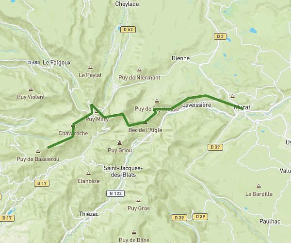
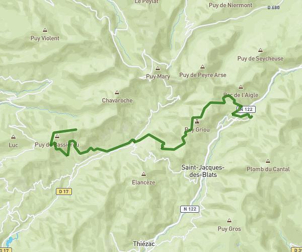
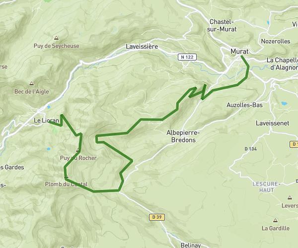
This hiking trail covers 16.181mi starting from Mandailles-Saint-Julien, Cantal. The hike does not return to the trailhead and ends near Prat De Bouc, 15800 Saint-Jacques-des-Blats, France. This hike is rated as strenuous, plan for about 4h31m to complete it. The route has an elevation gain of 5633ft and an elevation loss of 2762ft.
Mandailles - Plomb
Route details
3.59mph
Speed
2105 kcal
Calories burned
9.8%
Avg grade
Point to point
Route type
2523ft
Min altitude
5951ft
Max altitude
Steep climb
Route profile
5633ft
Elevation gain
2762ft
Elevation loss
2523ft
Min altitude
5951ft
Max altitude
How to get there
Trailhead: 59 Route Des Volcans, 15590 Mandailles-Saint-Julien, France
GPS coordinates of the trailhead: 45.06883, 2.6523 / 45°4'7'' N, 2°39'8'' E