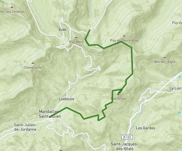
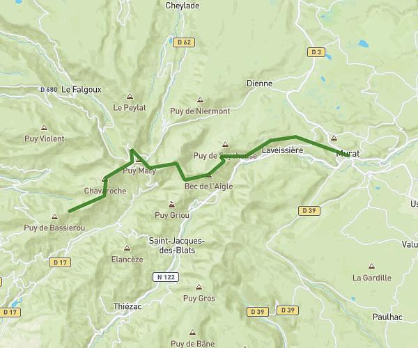
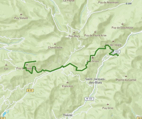
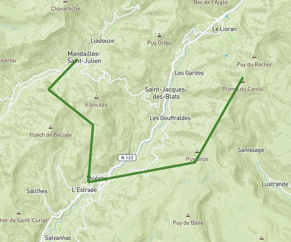
This hiking trail covers 16.636mi starting from Murat, Cantal. The hike does not return to the trailhead and ends near Rocher Du Cerf, 15300 Laveissière, France. This hike is rated as strenuous, plan for about 7h44m to complete it. The route has an elevation gain of 4085ft and an elevation loss of 3002ft.
Murat - Super Lioran
Route details
2.15mph
Speed
3500 kcal
Calories burned
8.1%
Avg grade
Point to point
Route type
2923ft
Min altitude
5948ft
Max altitude
Steep climb
Route profile
4085ft
Elevation gain
3002ft
Elevation loss
2923ft
Min altitude
5948ft
Max altitude
How to get there
Trailhead: 2 Avenue Des 12 Et 24 Juin 1944, 15300 Murat, France
GPS coordinates of the trailhead: 45.11101, 2.869521 / 45°6'39'' N, 2°52'10'' E