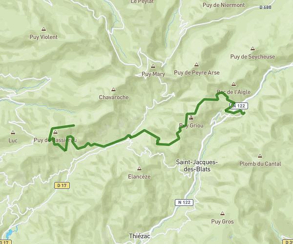
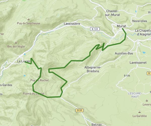
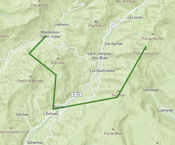
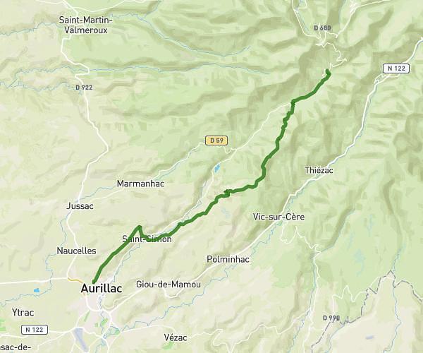
This hiking trail covers 18.338mi starting from Saint-Projet-de-Salers, Cantal. The hike does not return to the trailhead and ends near 10 Place Marchande, 15300 Murat, France. This hike is rated as strenuous, plan for about 3h5m to complete it. The route has an elevation gain of 3671ft and an elevation loss of 5026ft.
Etape 3
Route details
5.95mph
Speed
1377 kcal
Calories burned
9.0%
Avg grade
Point to point
Route type
3077ft
Min altitude
5640ft
Max altitude
Steep climb
Route profile
3671ft
Elevation gain
5026ft
Elevation loss
3077ft
Min altitude
5640ft
Max altitude
How to get there
Trailhead: 15140, Saint-Projet-de-Salers, Cantal, France
GPS coordinates of the trailhead: 45.075694, 2.612208 / 45°4'32'' N, 2°36'43'' E