MapPlanner
1.0mi
Distance
21m
Duration
20:59/mi
Pace
Easy
Level

Around My Block

Route details

20:59/mi
Pace
86 kcal
Calories burned
Loop trail
Route type
1224ft
Min altitude
1270ft
Max altitude

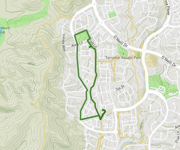
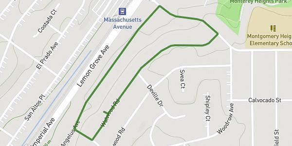
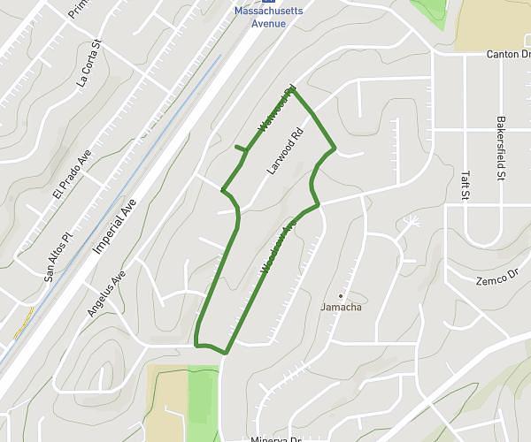
This walking route covers 1.0mi starting from Rancho Cucamonga, California. The walk is a loop trail and returns to the trailhead. This walk is rated as easy, plan for about 21m to complete it. The route has an elevation gain of 72ft and an elevation loss of 72ft.

Description of the route by the creator

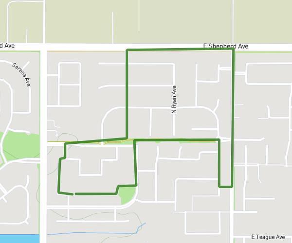
Just around my block cause im too lazy to go to my gym

Route profile

72ft
Elevation gain
72ft
Elevation loss
1224ft
Min altitude
1270ft
Max altitude

How to get there

Trailhead: Church Street, 91730 Rancho Cucamonga

GPS coordinates of the trailhead: 34.10879, -117.56454 / 34°6'31'' N, 117°33'52'' W

Caution: May Cross Private Property

This route may pass through or near private property. Always respect posted signs, obtain permission where required, and follow local trespassing laws. MapPlanner does not guarantee public access along any route.

Safety Notice

Trail and road conditions may change without notice due to weather, construction, or other factors. Always verify current conditions before heading out. You are responsible for your own safety — follow local signage, obey traffic laws, and use your best judgment on the trail.